Surveys and site designations
|
The task of selecting a range of sites of regional importance and representative of the geology within a county falls to the local geoconservation group. These are the sites that are recommended for designation as Local Geological Sites (LGS) or Regionally Important Geological / Geomorphological Sites (RIGS).
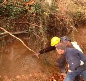
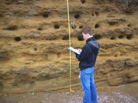
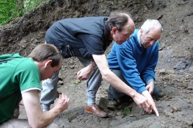
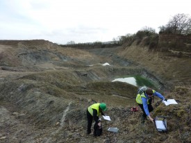
County groups carry out surveys and produce a geological site description and boundary map for each of these sites. A panel of experts is convened to review this information and if they approve, the data is forwarded to the Local Authority for inclusion in planning documents.
A wide variety of sites may be included: natural rock exposures, disused quarries, old buildings that preserve important stonework, natural landforms and even sections of rivers.

|


|