Geodiversity
J
ust as the word ‘biodiversity’ is now widely understood to refer to the full range of wildlife, vegetation and habitats of an area, the relatively new term, ‘geodiversity’, has been adopted to describe the wide variety of rocks, minerals, fossils, soils and landforms, and the natural processes that shape the landscape. Geodiversity therefore provides the framework for life on Earth and underpins biodiversity.
This diversity is our Earth Heritage and Britain is one of the best places on Earth to appreciate it.
The British Isles is a special place! It has a diversity of landscapes rarely encountered in such a small area anywhere else in the world.
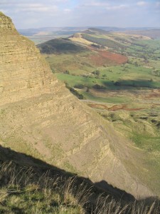
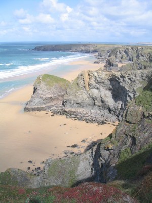
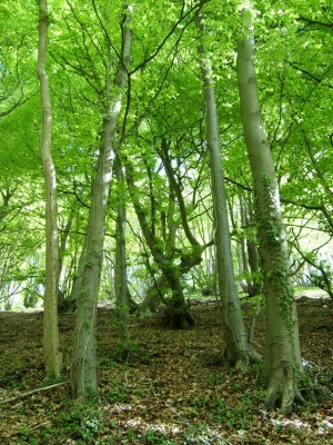
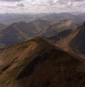
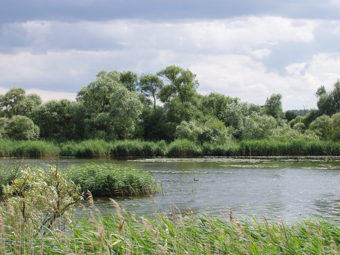
Within a day’s journey we can travel from the distinctive mountain peaks of the north-west Highlands to the white-sand beaches of the Hebridean Islands; from Norfolk’s coastal fens and heathland to the sculpted ridges of the Malvern and Shropshire hills; from the exposed, craggy cliffs of Cornwall to the gentle, leafy woodlands of Surrey; from the dark, heathery moors of the high Pennines to green, rolling hills in the Cotswolds; from the bulk of the Brecon Beacons to the broad expanse of the Severn Vale.
Underlying these landscapes, and fundamental to their topography, are rocks that were emplaced, altered and fractured by geological processes over hundreds of millions of years. In more recent millennia, much of Britain was subject to the effects of glaciation, carving valleys and re-depositing material far afield. Now, in a warmer climate, present day processes of superficial erosion and deposition, together with human activity, are further modifying our landscapes.
The nature and structure of the rock not only influences the shape of the land, but also the location of water, patterns of drainage and the development of soils. These in turn govern the vegetation and thus the wildlife that will inhabit an area. Locations for human settlement have always been selected where the landscape is of strategic value, providing shelter, defense or transport routes, yielding water, fertile soils, minerals, fuel and building materials. Rocks and landscapes are at the very heart of our community.
The wide range of landscapes across Britain is directly attributable to the variety of rock types found here. Every major period of geological time is represented, spanning around three billion years of Earth history, as can be seen from the geological map.
It is hardly surprising that Britain became the home of the modern science of geology. Legendary early workers of the 18th and 19th centuries, such as James Hutton, Charles Lyell and William Smith had what amounted to an accessible field laboratory all around them, where they could observe and map different rocks, and comprehend the scale of geological time and means by which it could be correlated.
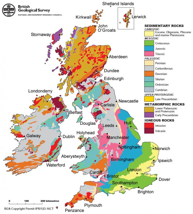
Geological map of the UK and Ireland. IPR/123-16CT British Geological Survey © NERC. All rights reserved.
It is the presence of such huge geological variety on such a compact geographical scale that makes Britain special.
There are national, regional and local geoconservation organisations all around the country, working to record and protect our Earth Heritage. The Geology Trusts supports some of the most active local groups in this work.
 Copyright © 2025